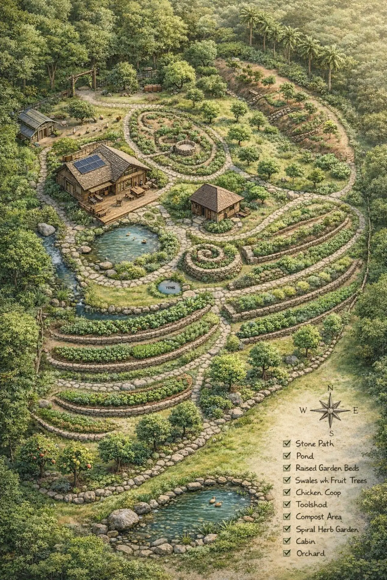
Most people start with the garden. That is why it gets ripped out in year three.
This is one property taken through the whole sequence, in the order the decisions actually have to be made. The drawings on this page are the real ones, produced by the collective’s master designer on real ground. Nothing here is an illustration of a process. It is the process.
Why order decides everything
The cost of a wrong decision is set by how early you make it.
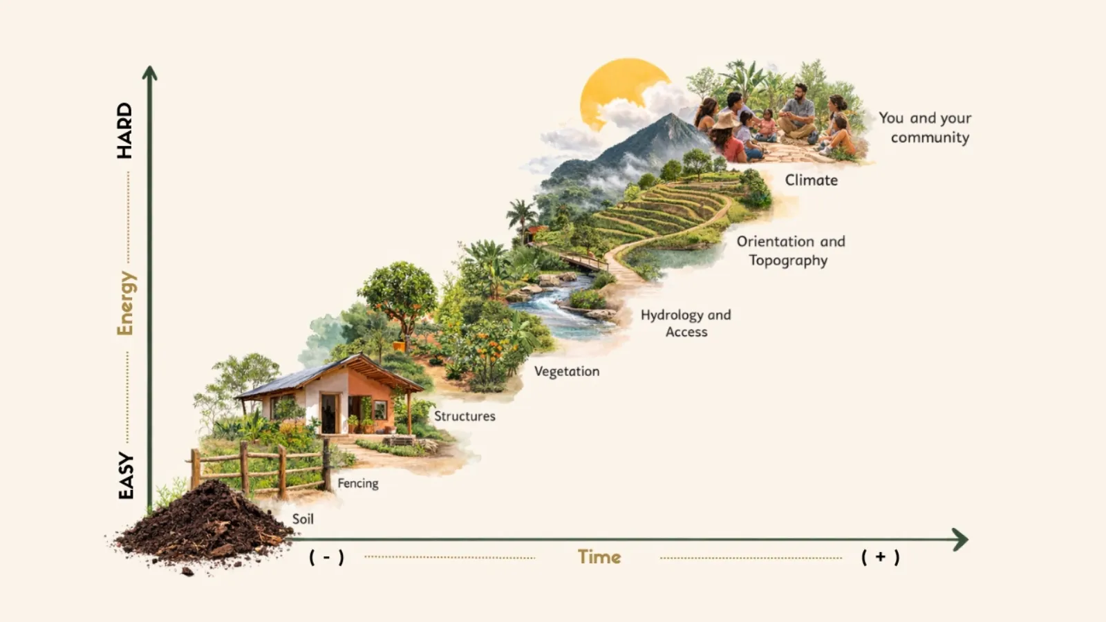
Everything on a piece of land has a permanence. Some of it you will never change. Some you could change, but it would cost more than the land is worth. Some you can change on a Saturday afternoon. Knowing which is which is the first job of a designer, and it is the whole reason a design is worth paying for before a machine arrives.
ClimateYou do not change it. You read it and you obey it.
LandformThe shape of the ground. Changeable with machines and money, and almost never worth it.
WaterWhere it arrives, where it leaves, where it could be held instead. This one decision governs everything below it.
AccessRoads and paths. Once a road exists it is permanent, and one in the wrong place bleeds soil every year for the rest of its life.
TreesSlow. A mistake here costs you years rather than money.
StructuresExpensive to build and more expensive to move, so nobody moves them.
BoundariesCheap by comparison, and genuinely changeable.
SoilThe most changeable thing on the property, and where nearly everyone starts.
The scale of permanence. Read it backwards and you have the order most people build in.
Get the soil wrong and you lose a season. Get the water wrong and you pay for twenty years in dead trees, washed-out roads and a well you never needed to drill. Design is cheap. It is the undoing that costs.
The sequence
Six steps, from the biggest question to a spade in the ground.
Each step feeds the next, and no step is skipped. By the time the master plan is drawn it very nearly draws itself, because every decision above it has already been made in the right order.
Step one
Before the land, you
What life is actually being built here. This is the step people are most tempted to rush, because it feels less real than digging, and it is the opposite. Get it wrong and you build a beautiful farm that fits nobody.
What does a good day here look like, hour by hour. How much income does this land have to produce, and by when. How many hours a week does it get, in a real life rather than an imagined one. Every element added to a design is a promise to maintain it, so what is the owner honestly willing to maintain.
Step two
Now you read the land
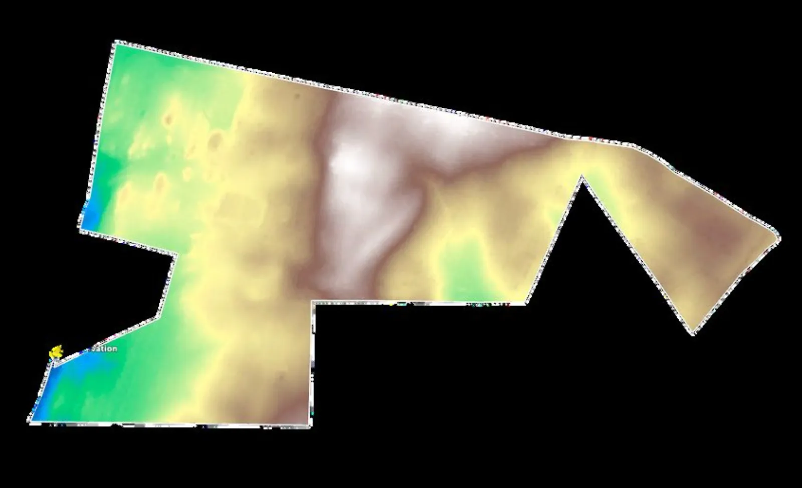
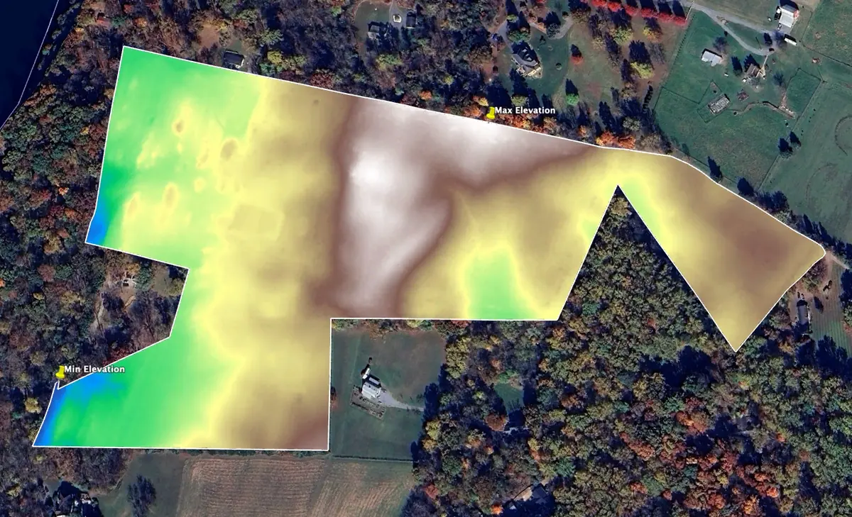
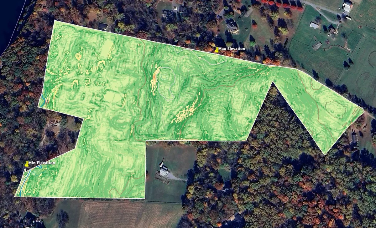
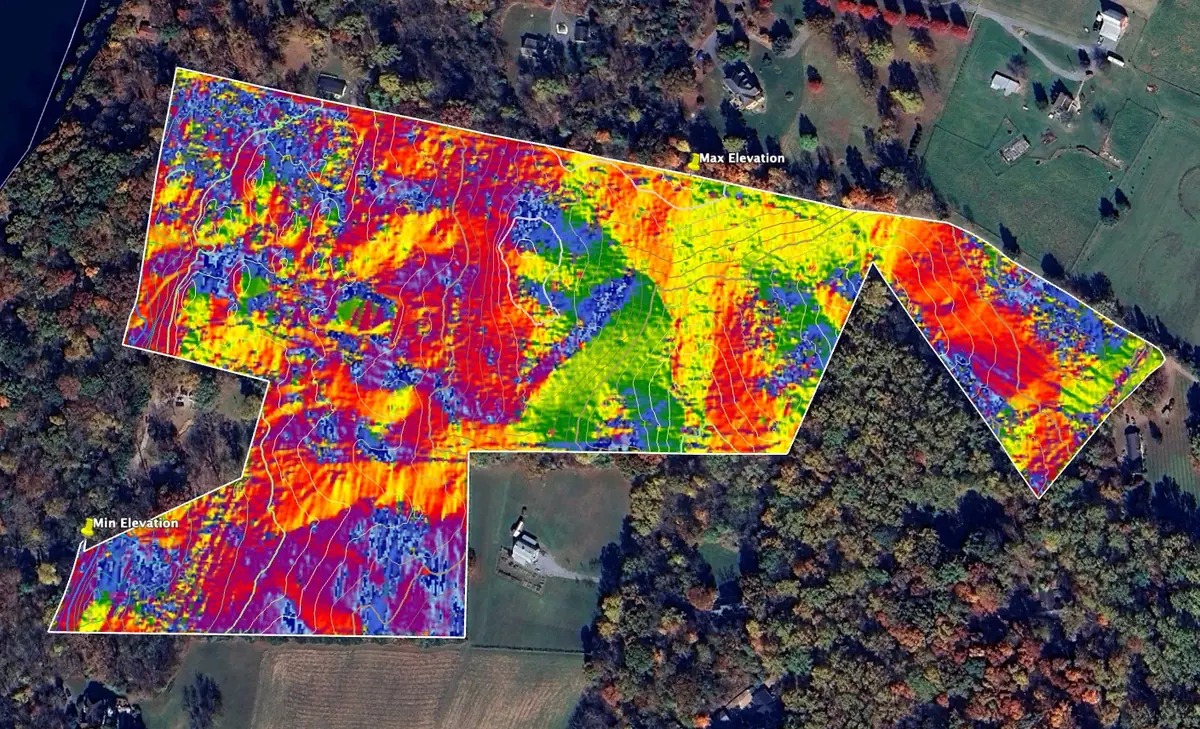
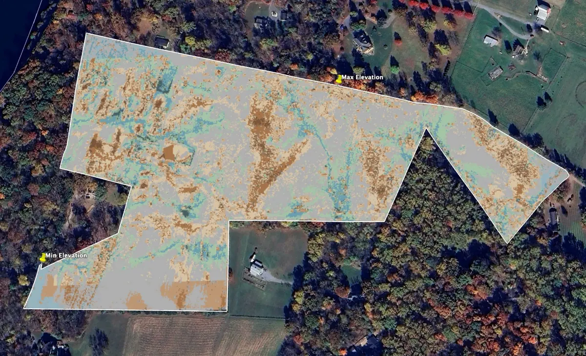
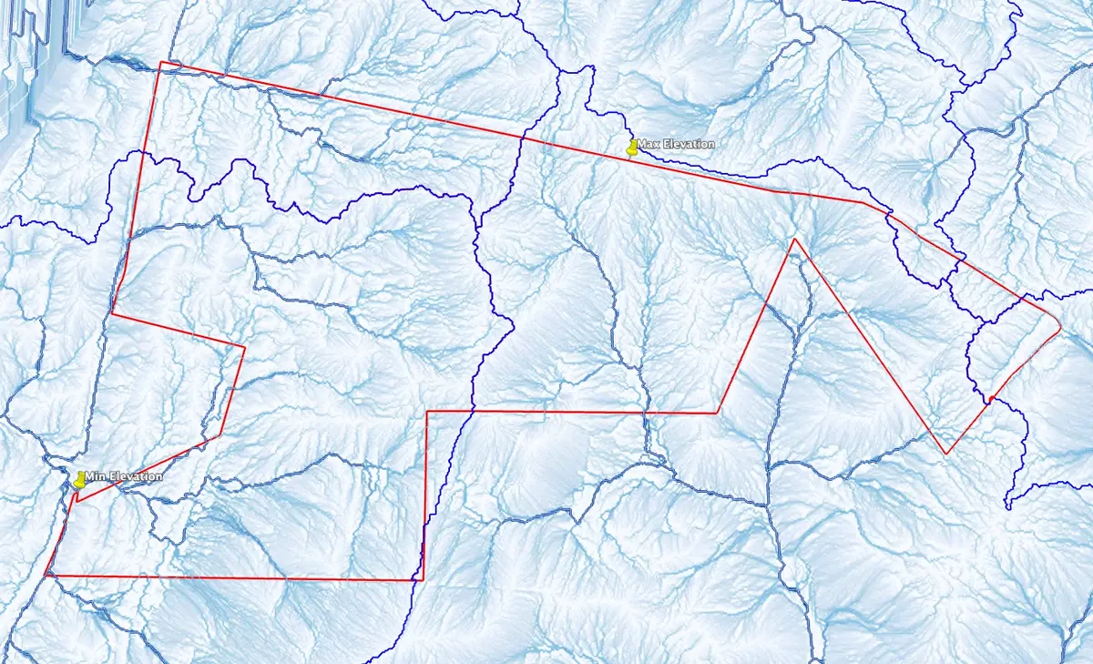
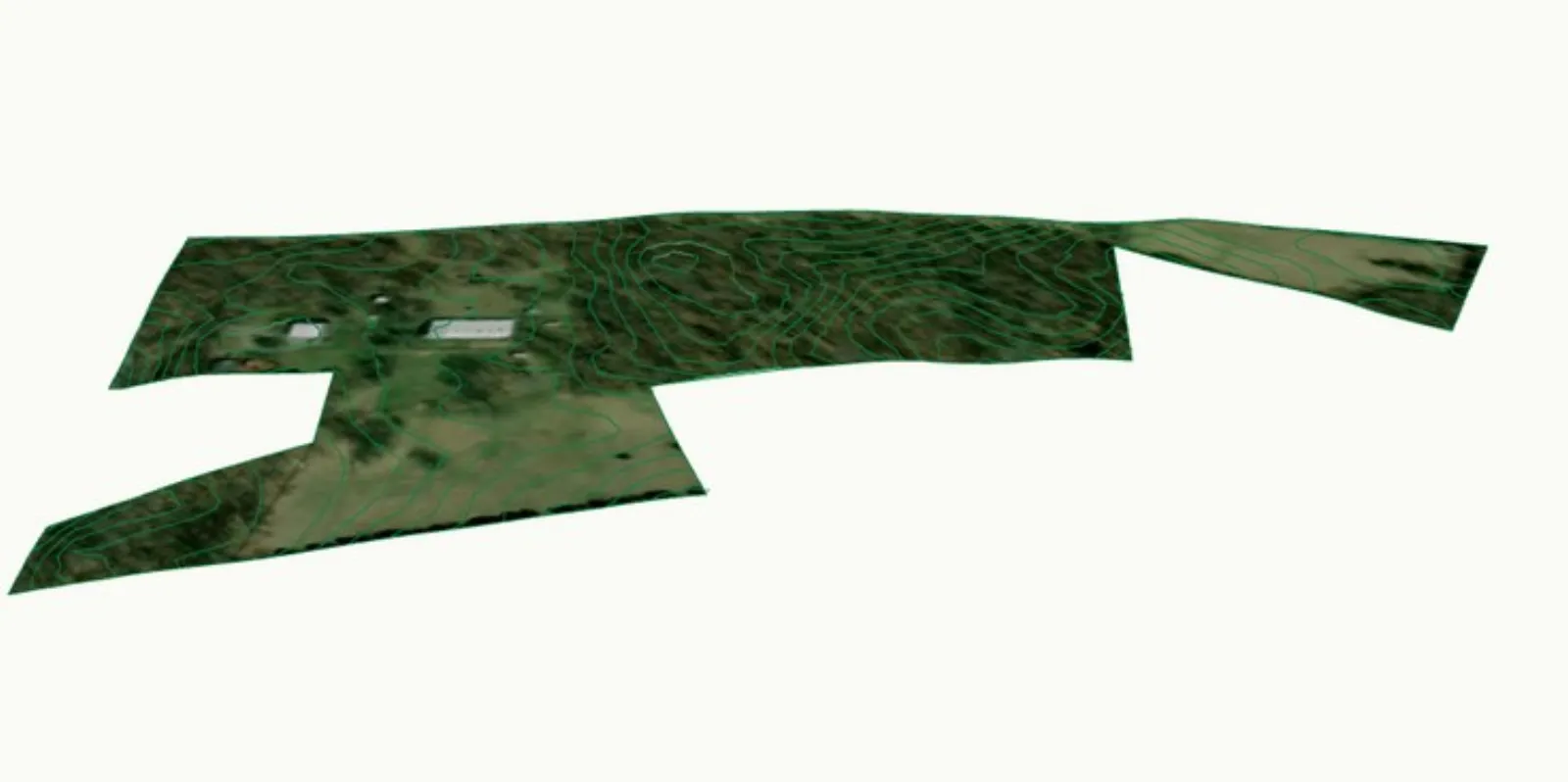
Water, slope, sun, wind, soil, what is already thriving and what is struggling. Nothing is being designed yet. This is listening, and it is the step almost everyone guesses at, which is exactly why their designs end up fighting the site instead of running with it.
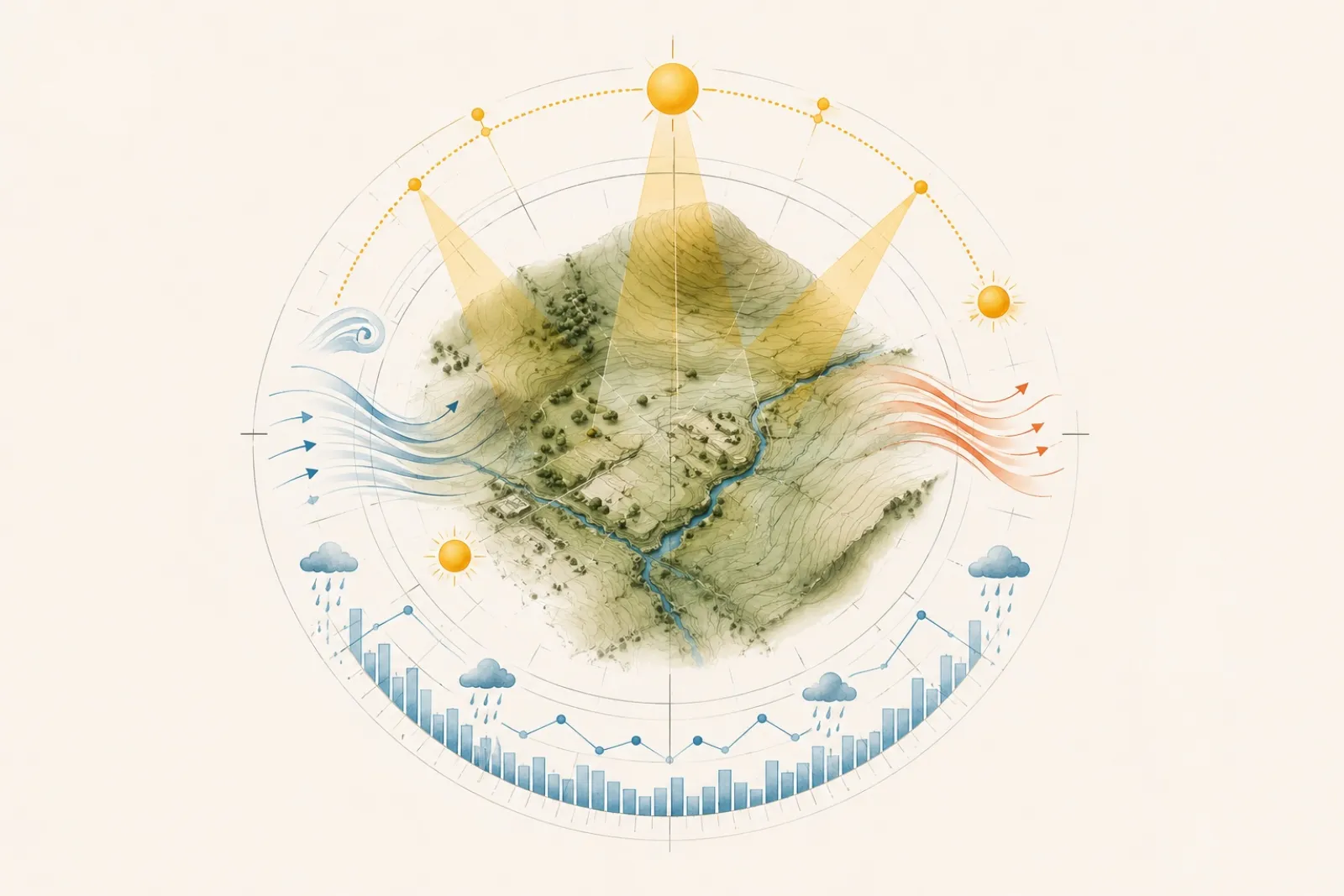
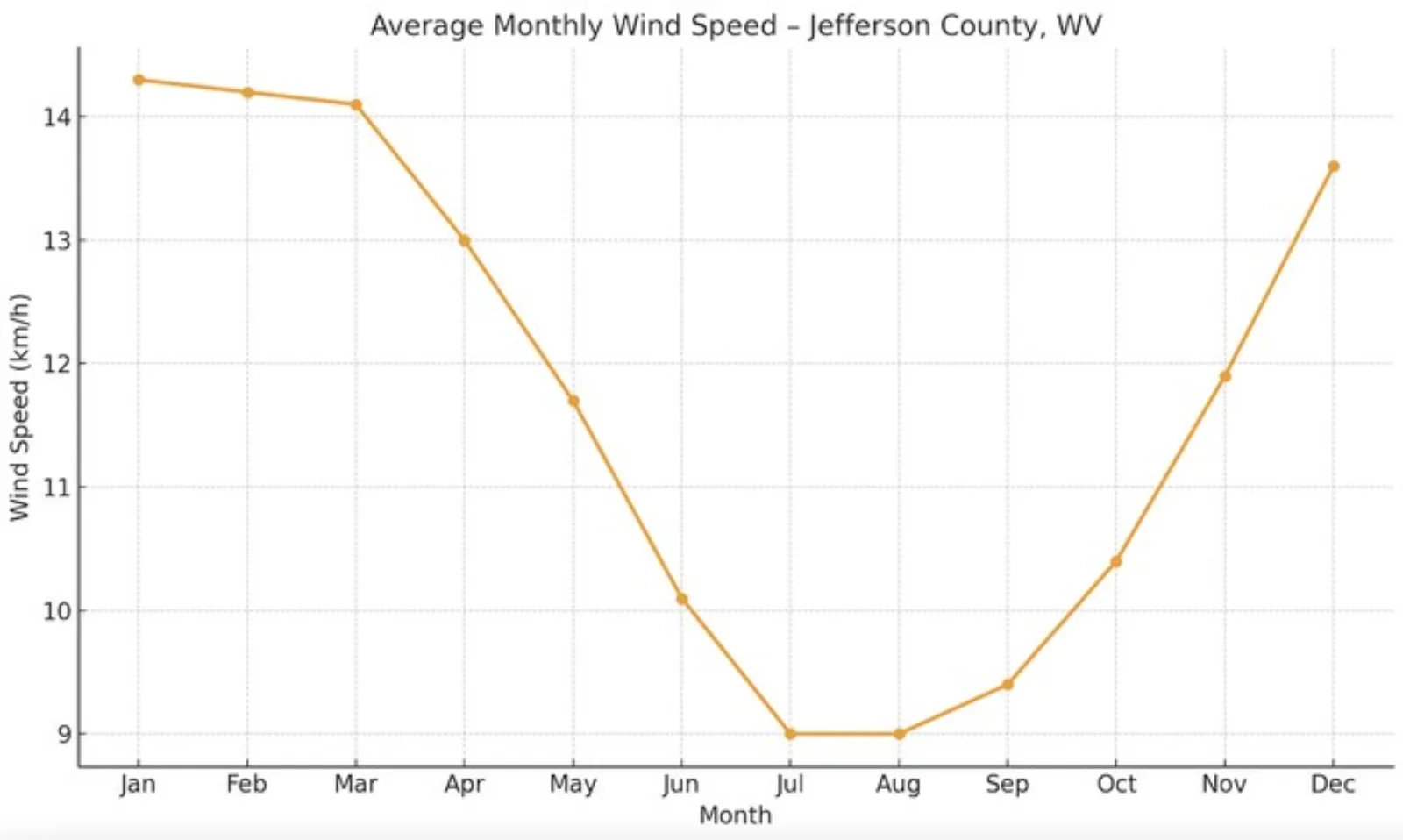
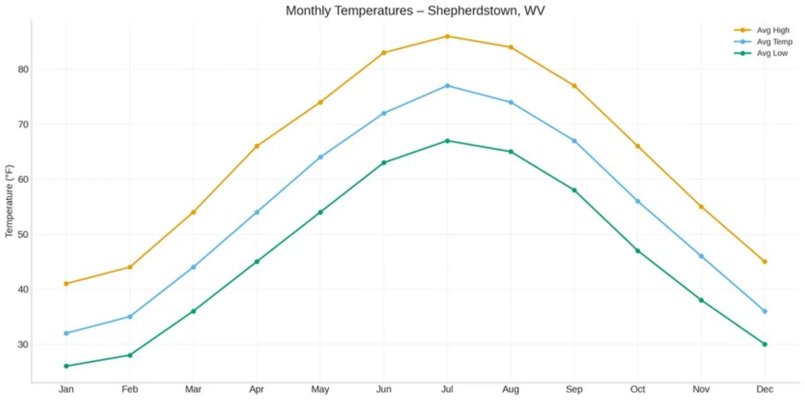
The climate read: sun paths, rainfall, temperaturePrevailing wind, by direction and strengthTemperature through the yearElevation and slope, modelled from survey data
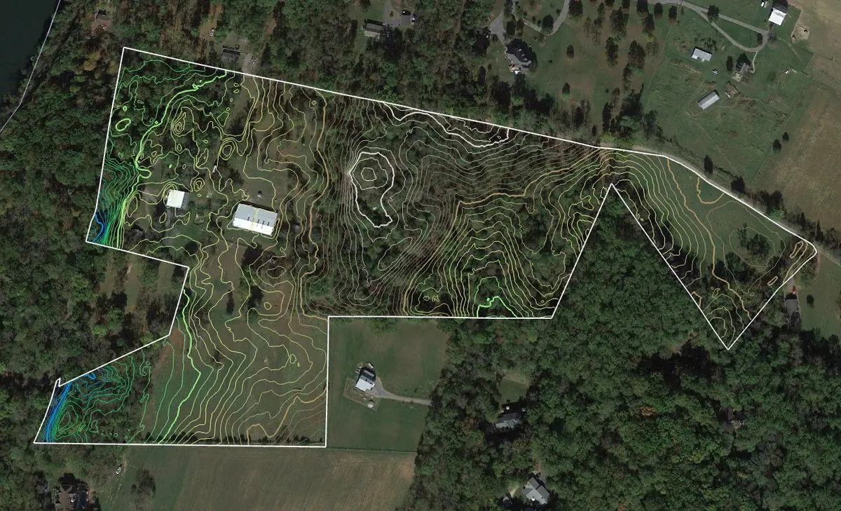
Reading a landscape’s water takes contour data, elevation modelling and an eye trained to know what a subtle break in slope means. It is the one step an owner cannot do for themselves, and it governs everything downstream. Literally.
Step three
The forces that come from outside
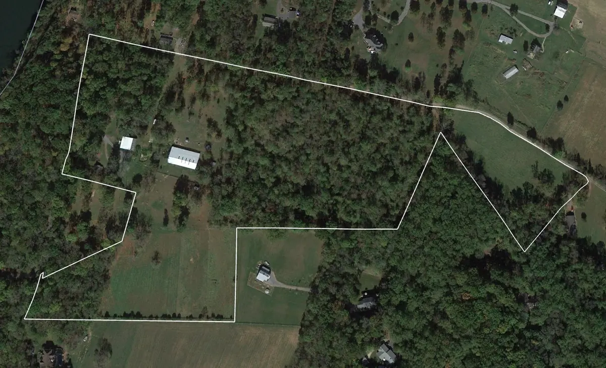
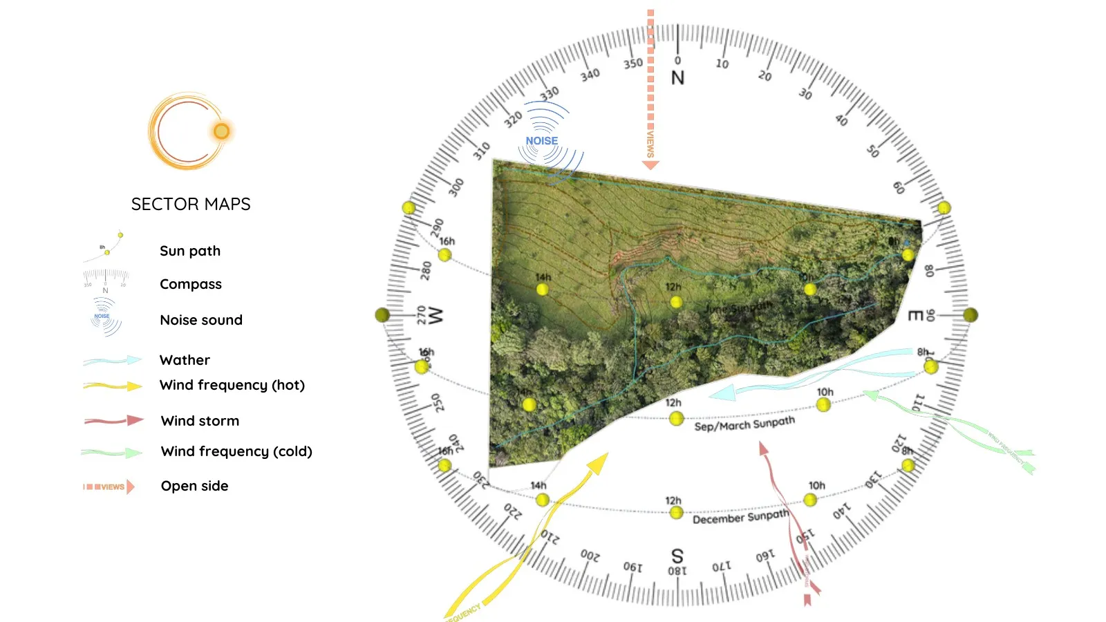
Sun, wind, water, fire, noise and views all cross the property from beyond its boundaries, and none of them can be stopped. The design catches the useful ones and deflects the rest.
The sector map, drawn on the real parcelThe same forces, read against the terrain
Step four
Organised by how often you walk there
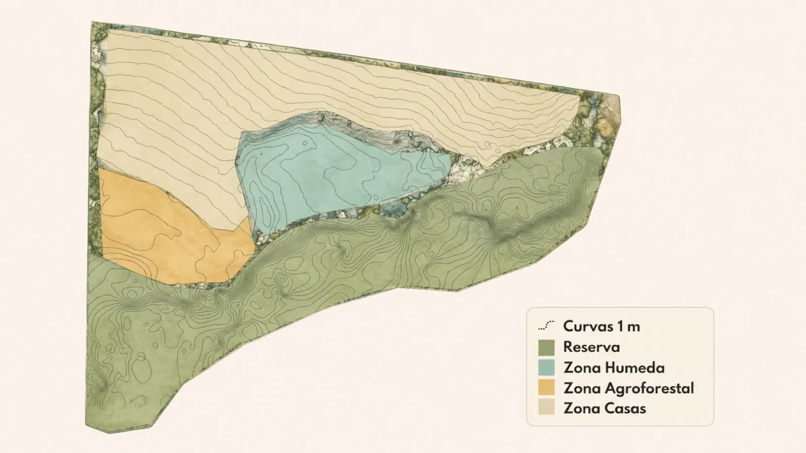
What gets touched every day sits closest to where people live. What gets visited once a season sits furthest out. Get this right and the place runs itself on a fraction of the effort. Get it wrong and someone spends the next decade walking to a herb bed planted too far from the kitchen.
Zones: the land organised by frequency of use
Step five
The big shapes lock in
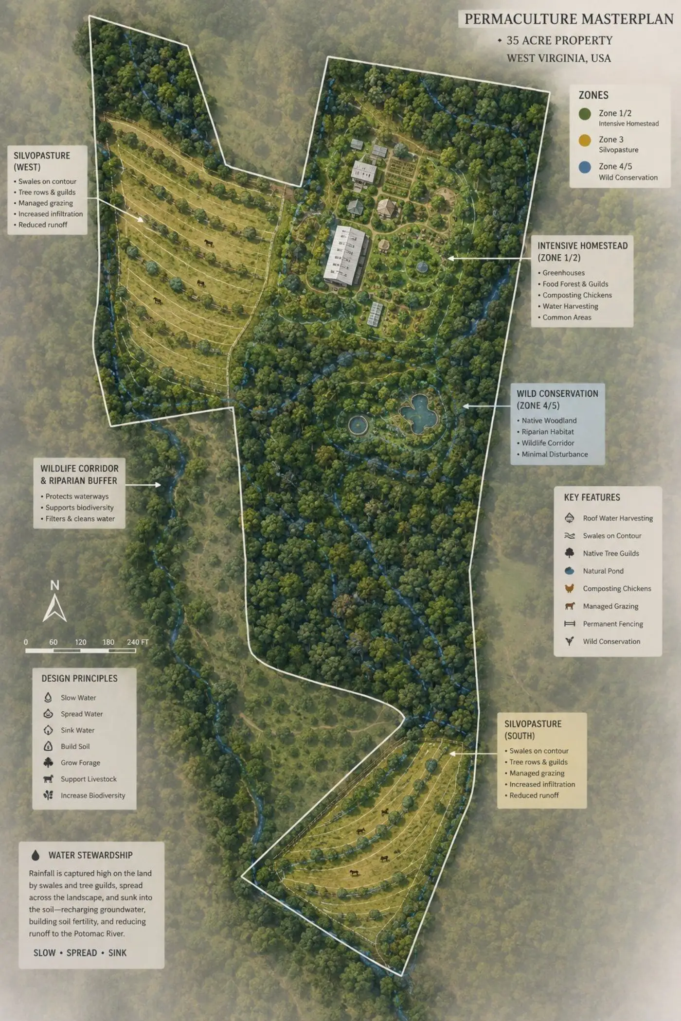
Only now, with the vision, the analysis, the sectors and the zones all in hand, do the permanent decisions get made. Where water is held, where the roads run, where the buildings sit, where the main systems go. This is the pattern the property is built from for the next decade.
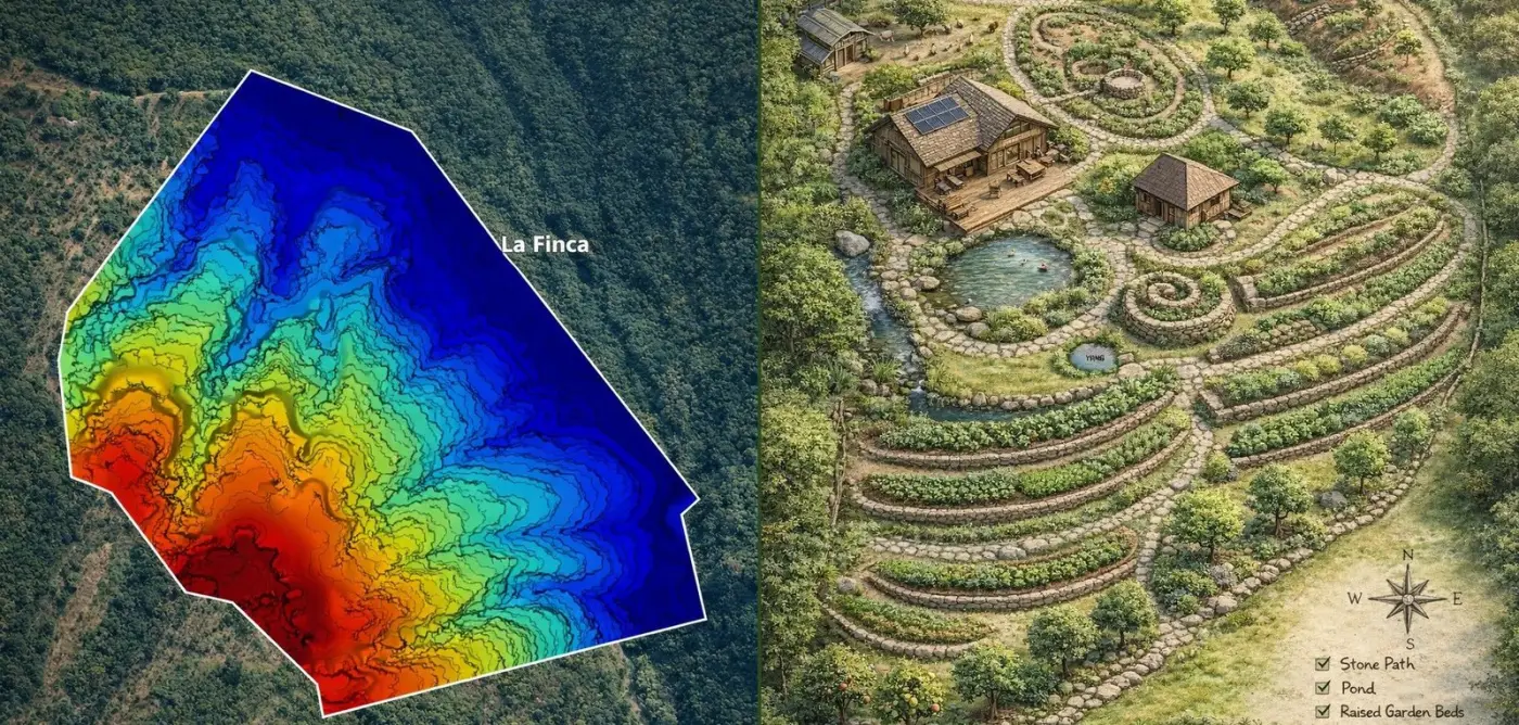
The master plan: the pattern you build from for a decadeThe same plan, read against the real contour
Step six
Last, the details
This bed, this guild of trees, this pond, this animal system. Each patch designed inside a master plan that already works. This is the enjoyable part, and it is the part most people start with, which is why it usually gets ripped out in year three. Done in its proper place, dead last, it is where the land finally becomes specific.
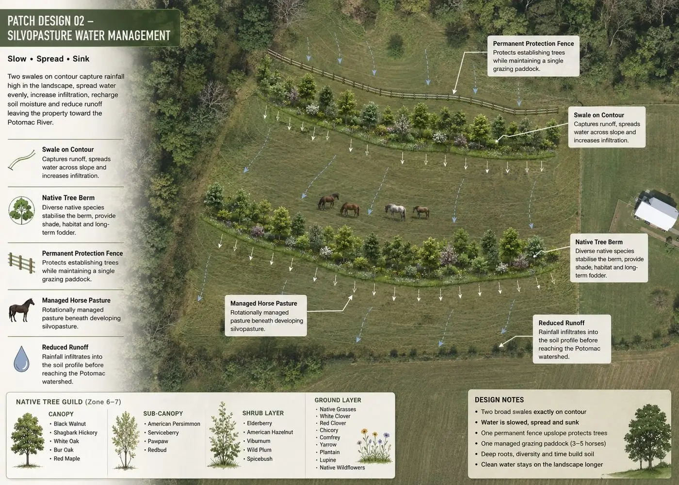
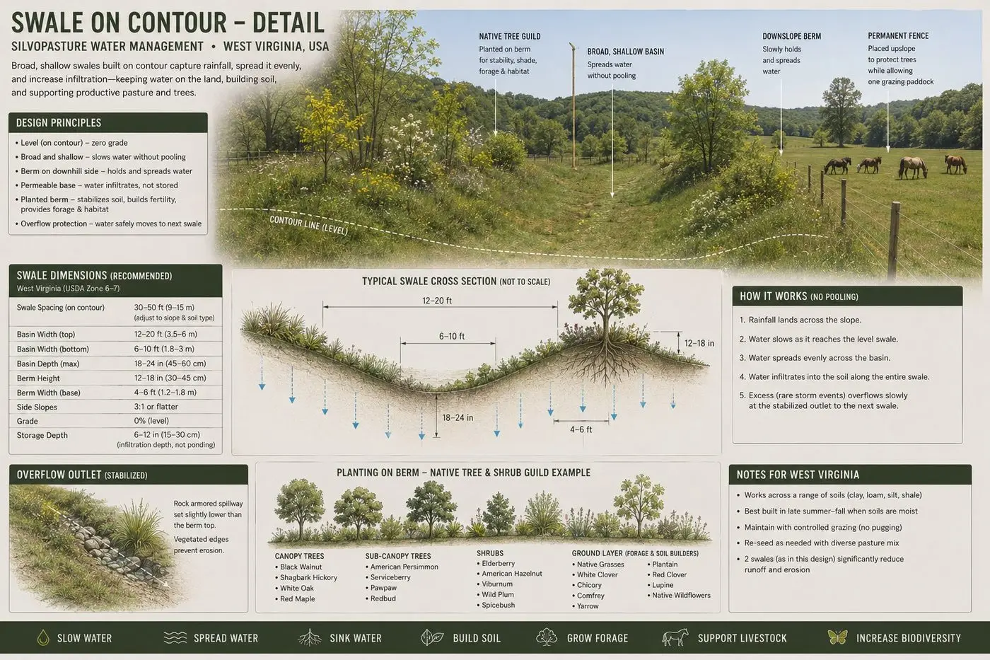
Patch design: silvopasture with its water managementSwale on contour: the construction detail
Then it gets built
A plan you can fund in pieces, in an order that holds.
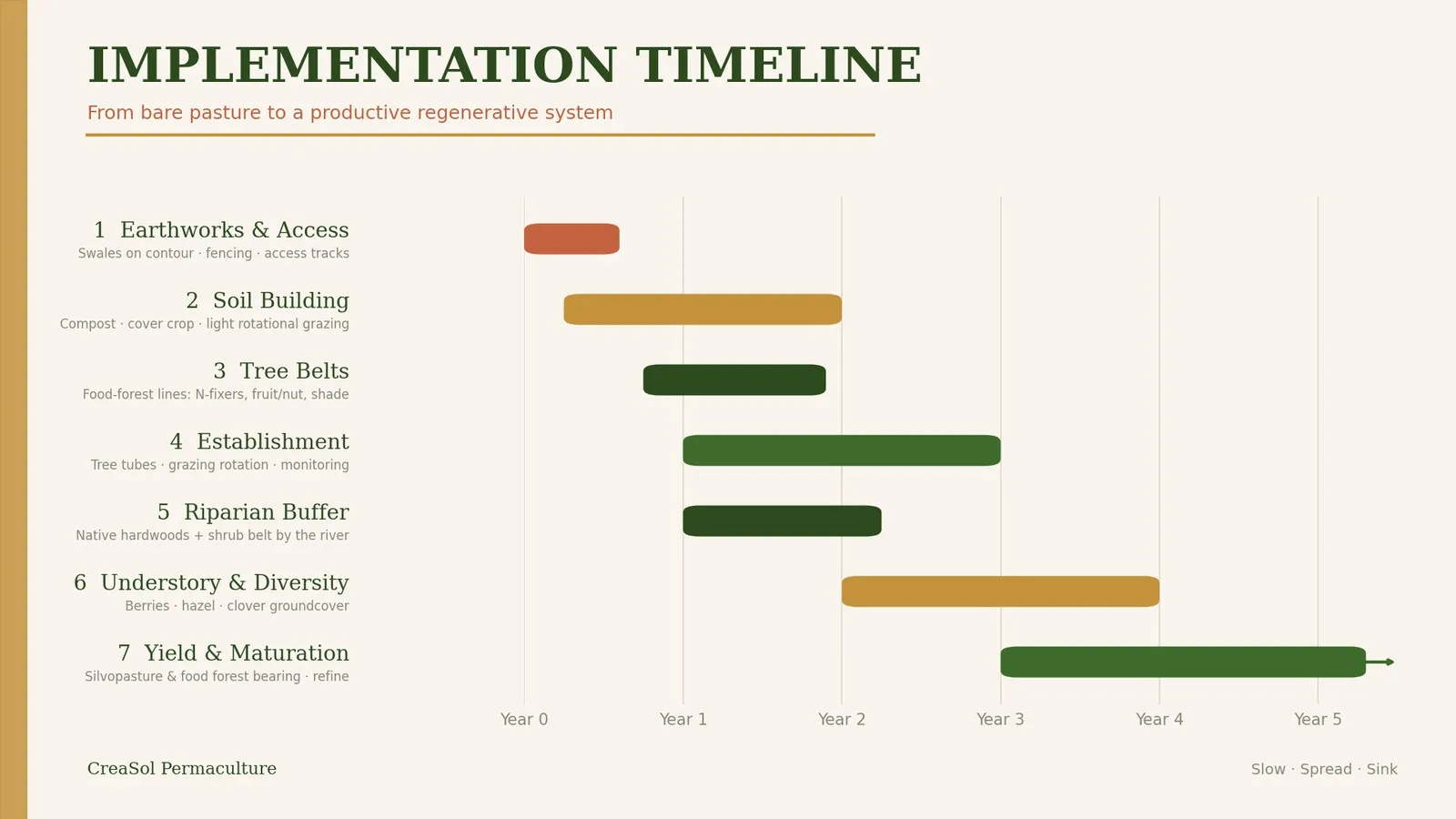
A master plan that cannot be phased is a wish. Every design leaves here with a sequence attached, so capital follows proof: you fund the next step on evidence rather than the whole vision on faith.
The implementation sequence, season by seasonWhat the sequence adds up to
Whose work this is
Drawn by the collective’s master designer.
These plates come from real client work by Neal Hegarty, who has designed across Guatemala, Ireland, Texas, West Virginia, India, South Africa and Jamaica. The sequence does not change with latitude. The species and the water strategy do, and that is what the reading is for.
Neal also teaches this method independently of the collective, to landowners who would rather learn to do it themselves than commission it. Both are honest answers to the same problem.
Start
Your ground, read the same way.
Tell us what you are working with. It takes under two minutes.
Thank you. We’ll be in touch.
We read every note. Expect a reply from the collective soon.